Maps
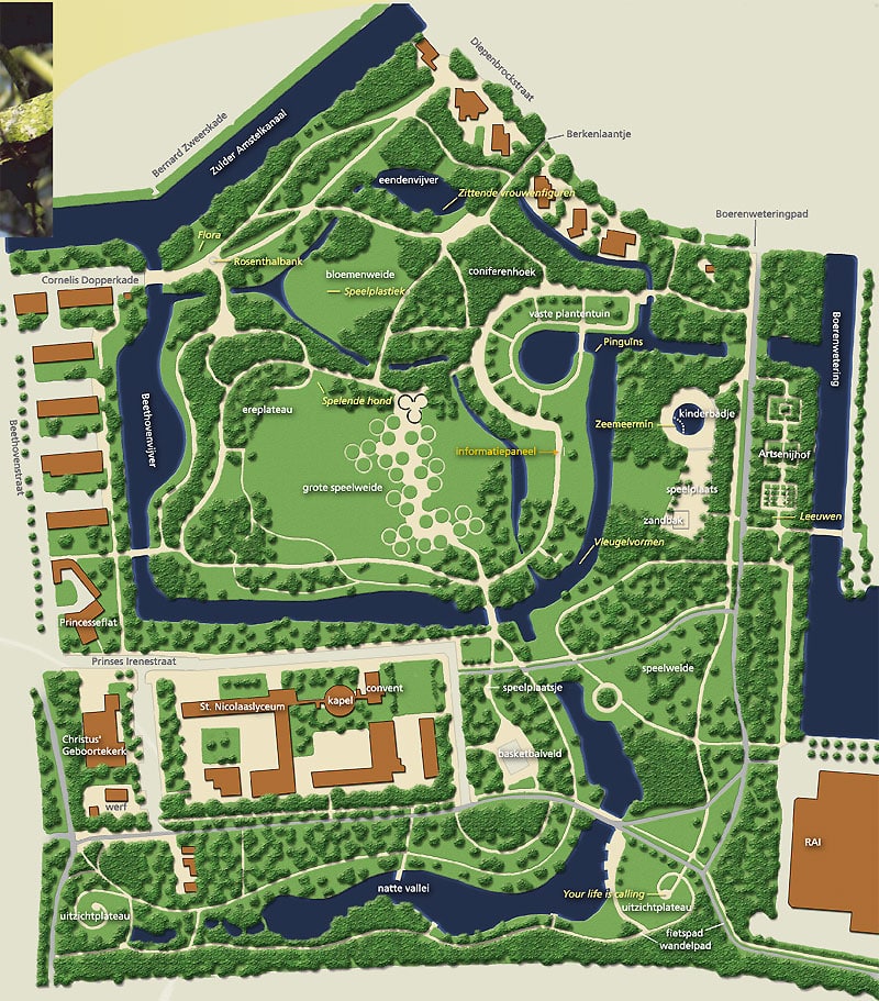
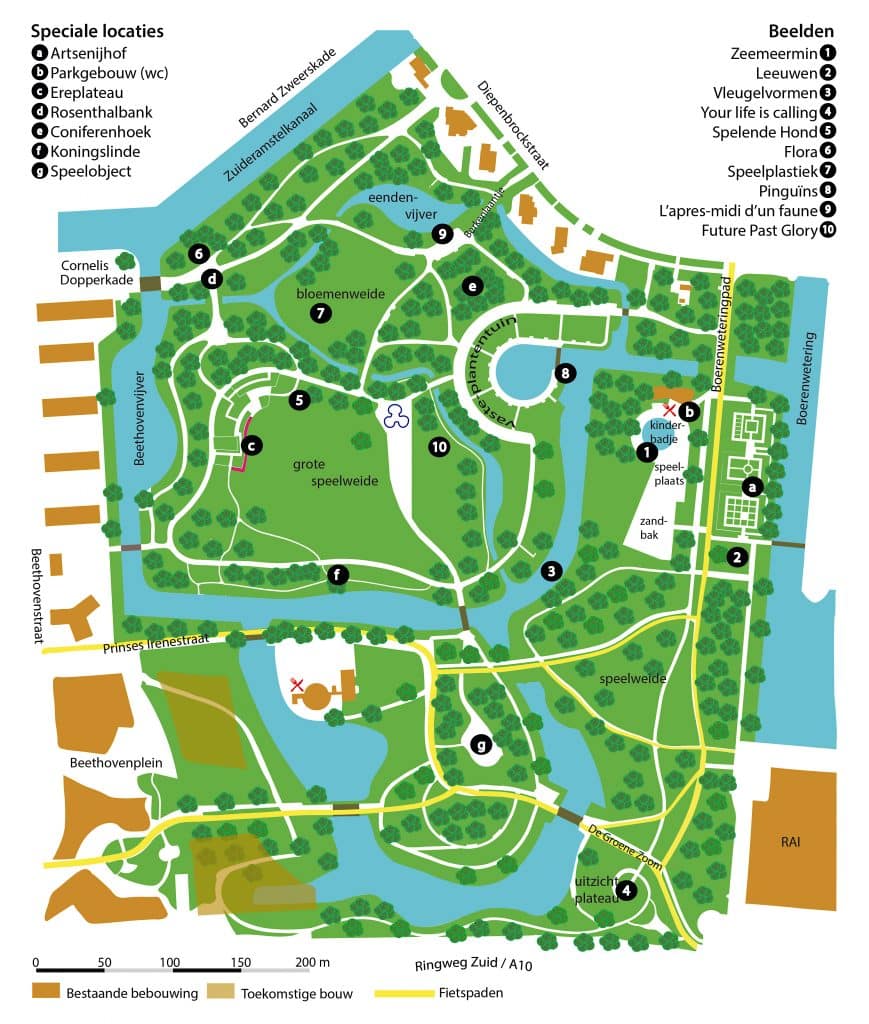
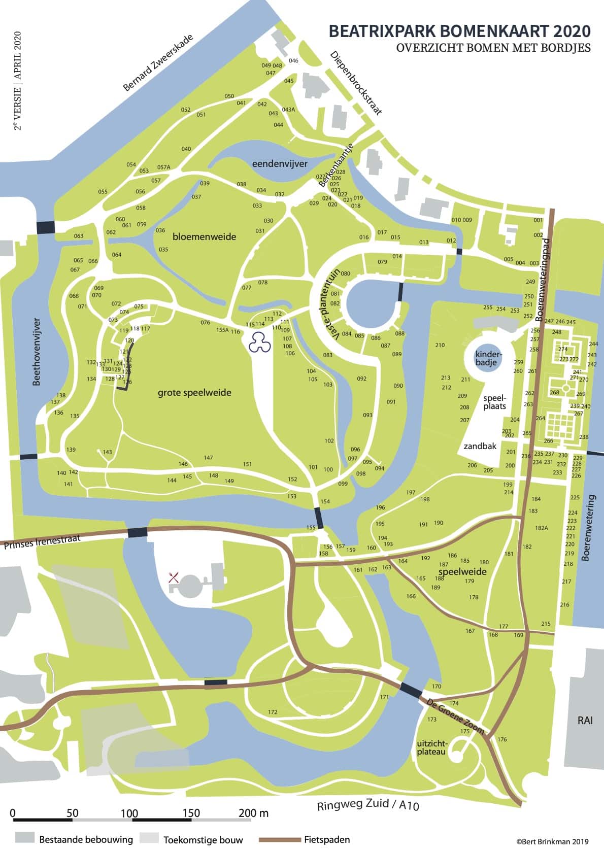
These maps of the Beatrixpark are available:
The “old” map, about ca 2000, and a new one, made by Bert Brinkman in 2019, on which you can also find all statues in the park.
Klik voor de vergroting
Klik voor de vergroting
* copyright kaart B. Brinkman, 2019
Map of the RAI-area: RAI conceptprojectbesluit
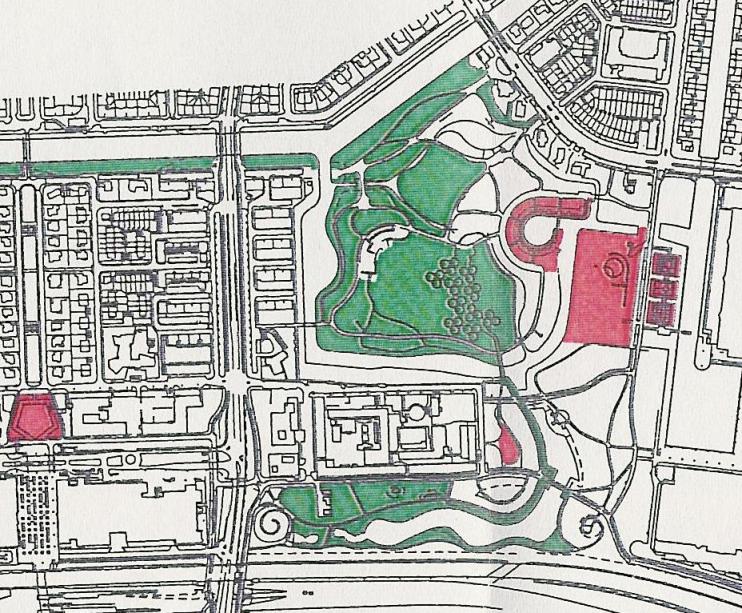
Map of the plans for the Prinses Irenebuurt :
The area in and around the Prinses Irenestraat has its own site : http://www.irenebuurt.nl
On the site of the city of Amsterdam you can find several maps, for example with an overview of areas where it is allowed to barbecue, (BBQ is NOT allowed in the Beatrixpark) or walk your dog. : http://maps.amsterdam.nl
het rode gebied is verboden voor honden
Map showing where your can walk the dog without a leash:


